

CENIEH, UMA, and UCO are taking part in a study that models how fluvial processes modify the shape of sand grains, providing key information for future research on environmental reconstructions and comparisons with the karst infills of the Sierra de Atapuerca

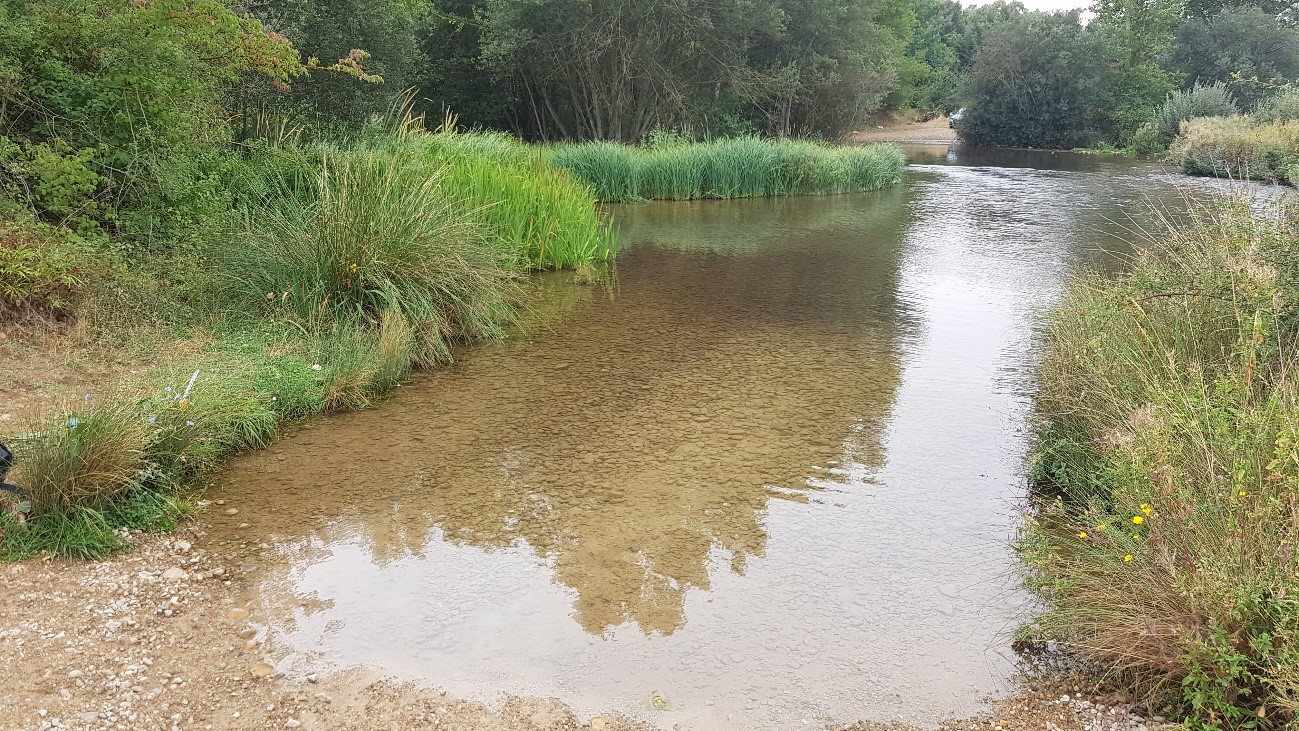
A team from the Centro Nacional de Investigación sobre la Evolución Humana (CENIEH) has collaborated with researchers from the University of Málaga (UMA) and the University of Córdoba (UCO) on an article published in the Journal of Sedimentary Research, which examines the relationship between the shape of sand grains and the distance traveled in the Arlanzón River (Burgos) and the Guadalhorce River (Málaga).
The study analyzes the abrasion of the sand grains transported by the Burgos river on its journey from its source in the Sierra de la Demanda to its confluence with the Arlanza River, and compares them with those of the Málaga Guadalhorce River, a fluvial system with very different characteristics. The results allow for a detailed understanding of how the shape of these particles changes as they move along river channels.
To do this, systematic sampling was carried out along different stretches of both rivers, and the samples were processed in the CENIEH laboratories. First, the sand grains were separated in the Geology Laboratory and later analyzed in the Microscopy Laboratory using specialized equipment that measures size and shape parameters — such as circularity or convexity — in hundreds of particles from each sample.
Statistical analysis was carried out to mathematically model how the sand grains change as the transport distance increases. “In the Arlanzón, modifications in particle shape are more uniform and most parameters show a clear relationship with the increase in distance traveled,” explains Isidoro Campaña, a geologist at the University of Málaga and first author of the article.
This study opens the door to comparing the results with fluvial sediments found in the caves of the Sierra de Atapuerca. “These comparisons will help us identify where the waters that carried sands into the sites came from and, with that, reconstruct the natural processes that formed the cavities,” notes CENIEH geologist Alfonso Benito Calvo, co-director of the Sierra de Atapuerca sites.
This study was funded by project B1-2022_02 of the University of Málaga and project PID2021-122355NB-C33 of the Ministerio de Ciencia e Innovación awarded to CENIEH.


")